The South Devon AONB: Rolling hills, endless beaches and ancient landscapes that Man has walked for millennia
Our series on Britain's Areas of Outstanding Natural Beauty continues with Rosie Paterson taking a look at the highlights of South Devon.
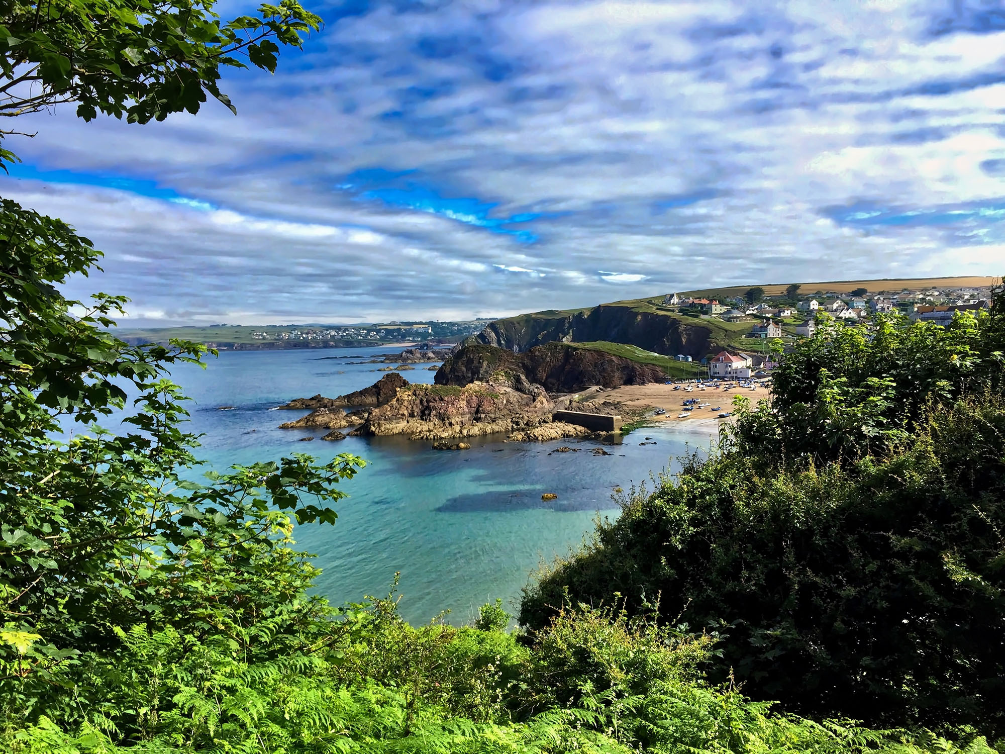

The rolling hills here are softer than their Cornish cousins. Many are home to sheep and cattle that occasionally frequent the beaches below, others to row upon row of quivering golden crops that envelop you in their warmth.
The AONB stretches for more than 130 square miles across the South Hams, covering a host of well-known spots — Burgh Island (the inspiration behind Agatha Christie’s Soldier Island), Salcombe, Dartmouth (home to the oldest working steam train in the world) and Newton Ferrers — as well as 60 miles of the South West Coast Path. The six-plus miles of continuous, pre-Cambrian cliffs around Bolt Head, west of Salcombe, is one of the longest stretches in the National Trust’s possession.
Following the 1940 harvest, hedges on Bolt Head were removed to make room for an RAF satellite site. A coconut-matting and metal runway was used by Spitfires, Typhoons, Mosquitoes and Beaufighters until 1945; today, it’s a grass airfield where light aircraft may land with permission from the farmer.
Links to the Second World War continue at Slapton Sands, recorded in the Domesday Book as ‘Sladone’. Troops rehearsed the invasion of Normandy off the coastal bar beach, but were attacked by German E-boats, as well as coming under friendly fire.
Man has been living here for thousands of years. Dartmoor National Park was first populated during the Mesolithic Period (the Middle Stone Age) while Totnes — on the west bank of the River Dart, eight miles inland — is the second oldest borough in England, after Malmesbury in Wiltshire. The former Saxon settlement also has more listed buildings per head than any other town in Britain.
Water is an integral part of this wild landscape: welt-like, winding rivers criss cross the land, as well as manmade leats (long-distance watercourses), dams and reservoirs. Today, these historic viaducts are open to walkers and cyclists, but 45% of South West Water’s daily supply still comes from the moor.
Even beneath the water there are things to see. The Kingsbridge Estuary — a drowned valley, caused by rising sea levels at the end of the last glacial period — is carpeted in eelgrass, which supports a rare seahorse population.
Sign up for the Country Life Newsletter
Exquisite houses, the beauty of Nature, and how to get the most from your life, straight to your inbox.
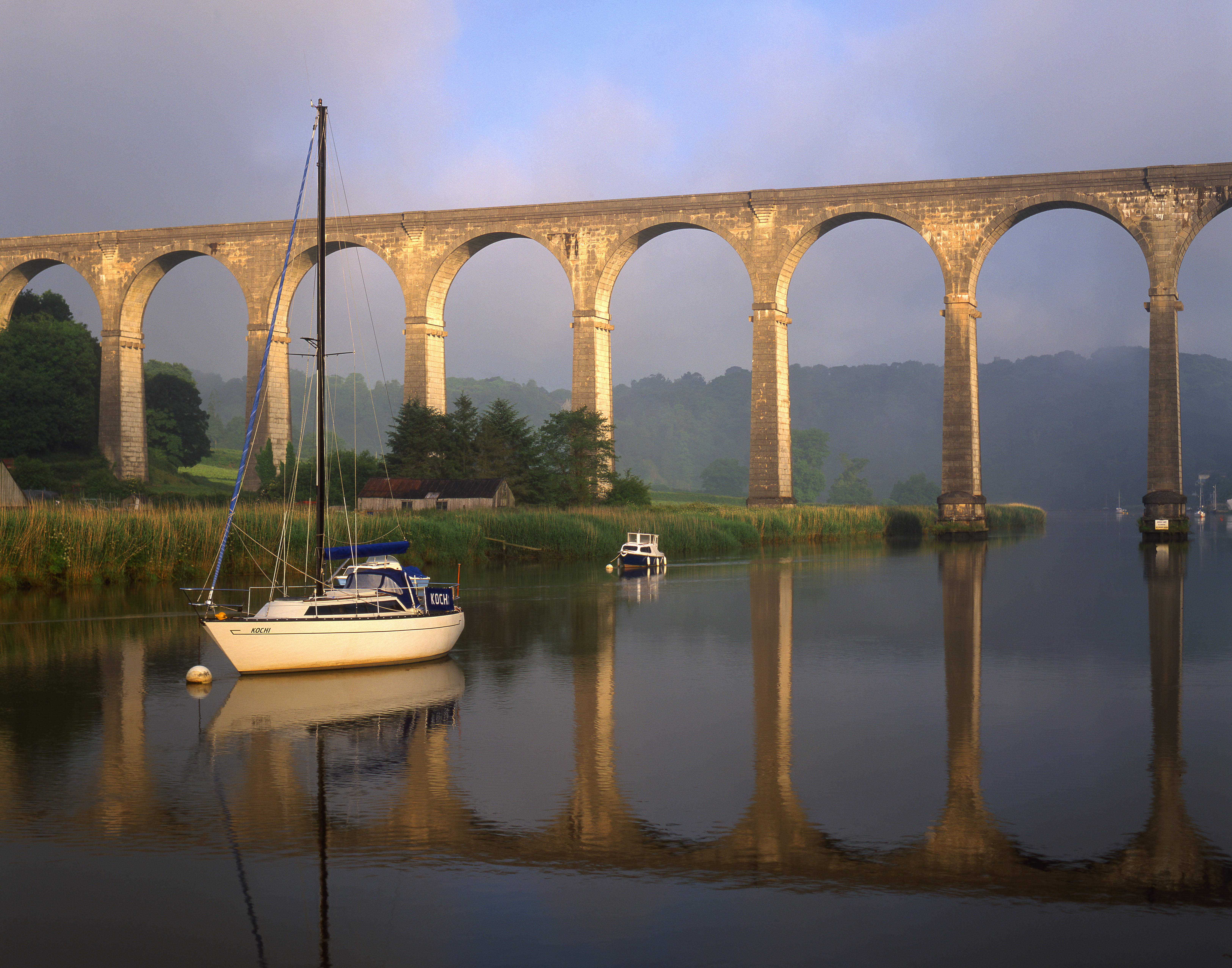
The Tamar Valley AONB: Mines, otters and the ghost of a 'black widow' who roams the moors in a carriage of bones
Kate Green focuses on the Tamar Valley AONB.
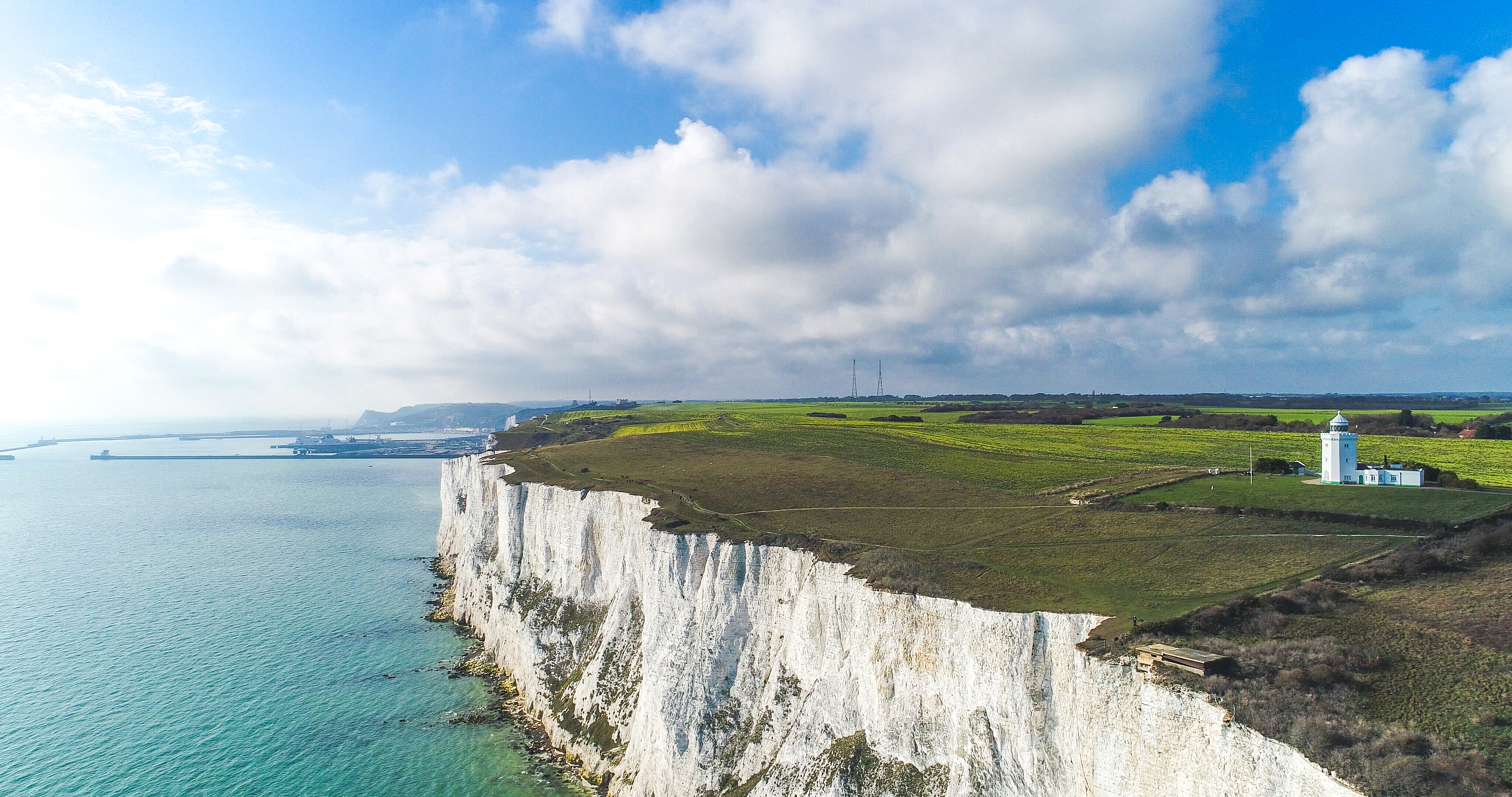
The Kent Downs AONB: One of Mother Nature's works of art, from the famous White Cliffs to the wildlife of the Garden of England
Victoria Marston takes a look at the magnificently beautiful Kent Downs AONB.
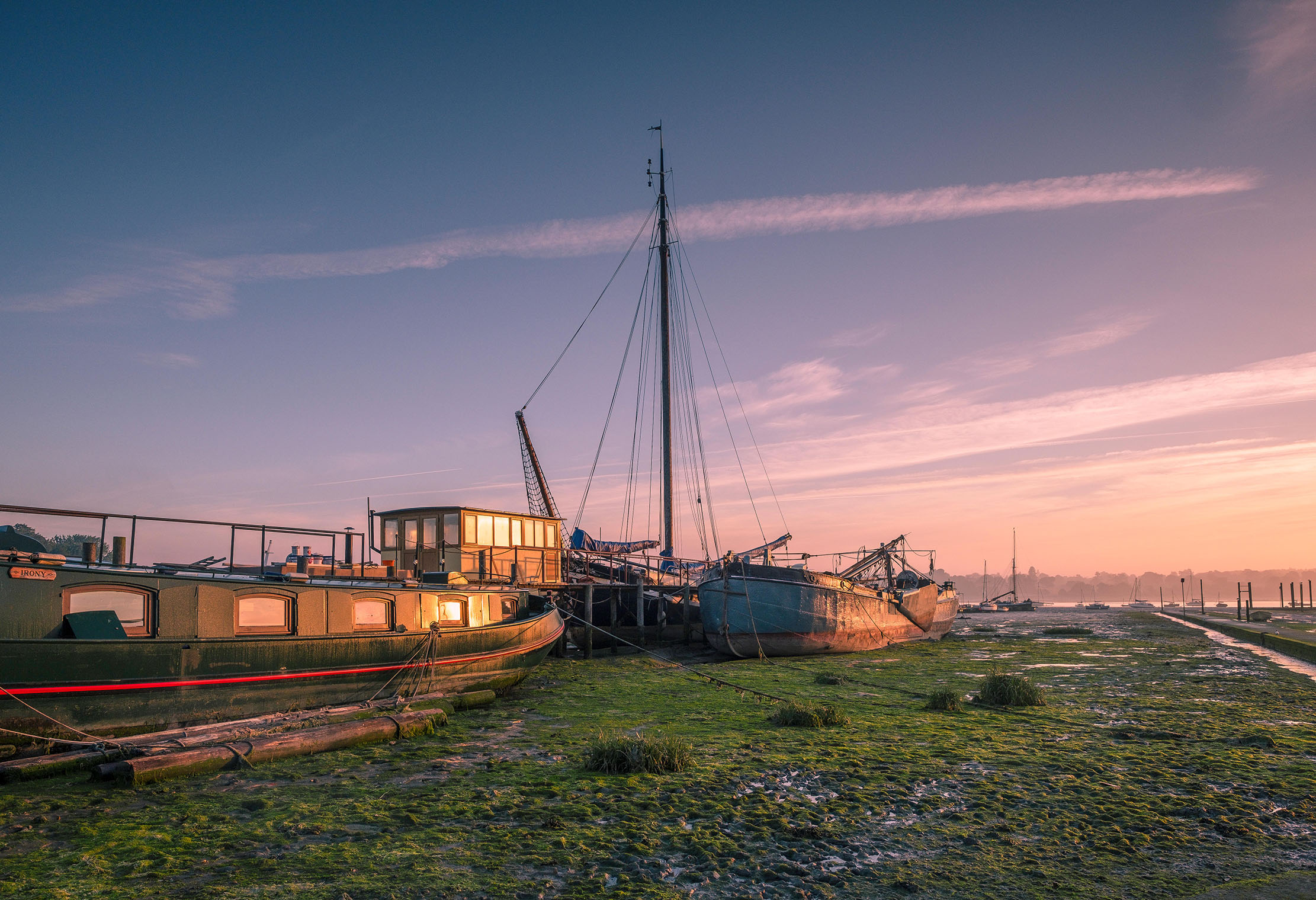
The Suffolk Coast AONB: A landscape shaped by Man and Nature, in peace and in power
James Fisher takes a look at the Suffolk Coast and Heaths AONB.
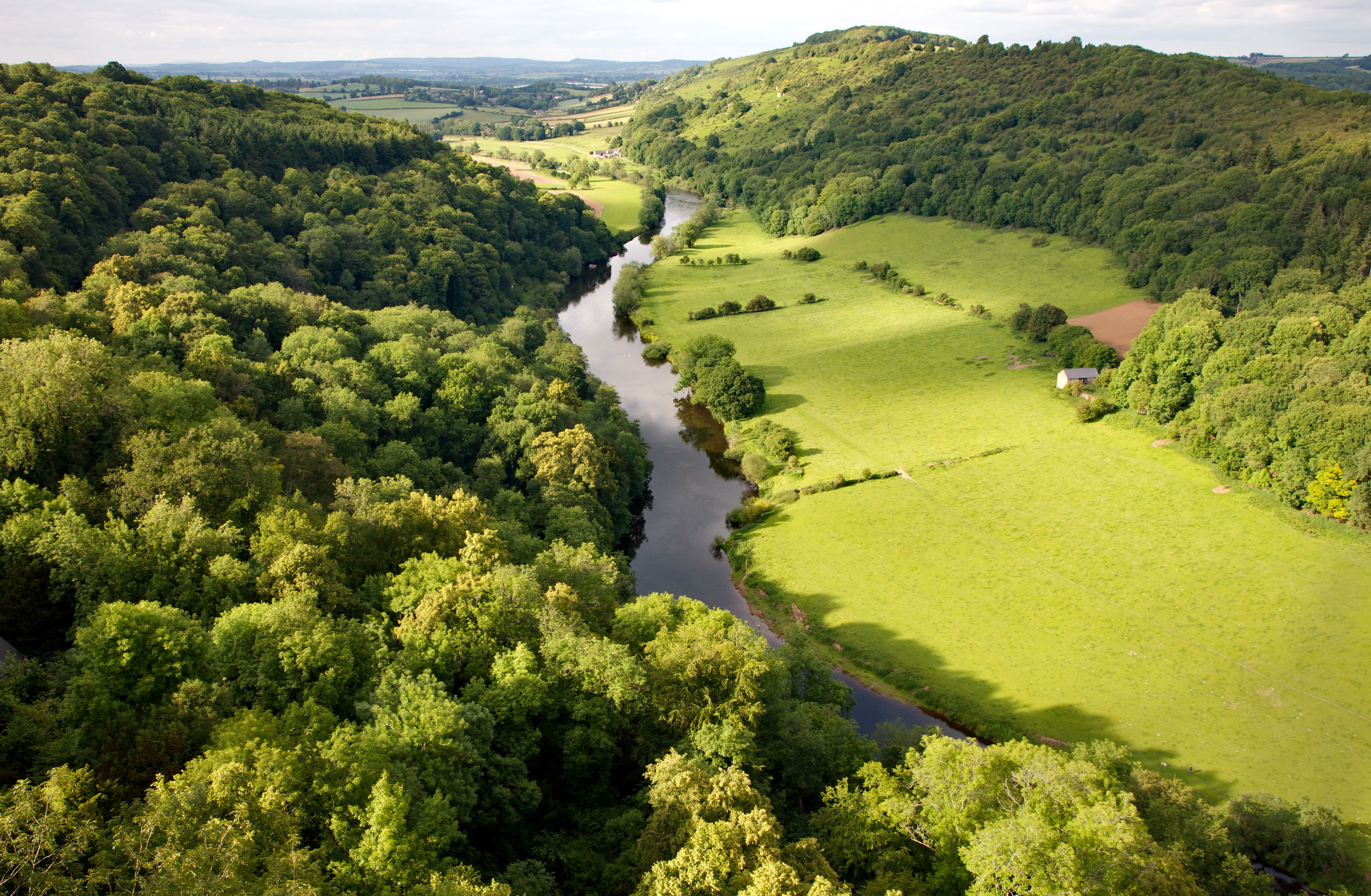
The Wye Valley AONB: 'If you have never navigated the Wye, you have seen nothing'
The Wye Valley is considered the 'birthplace of British tourism' — and it's not hard to see why, says Kate Green.
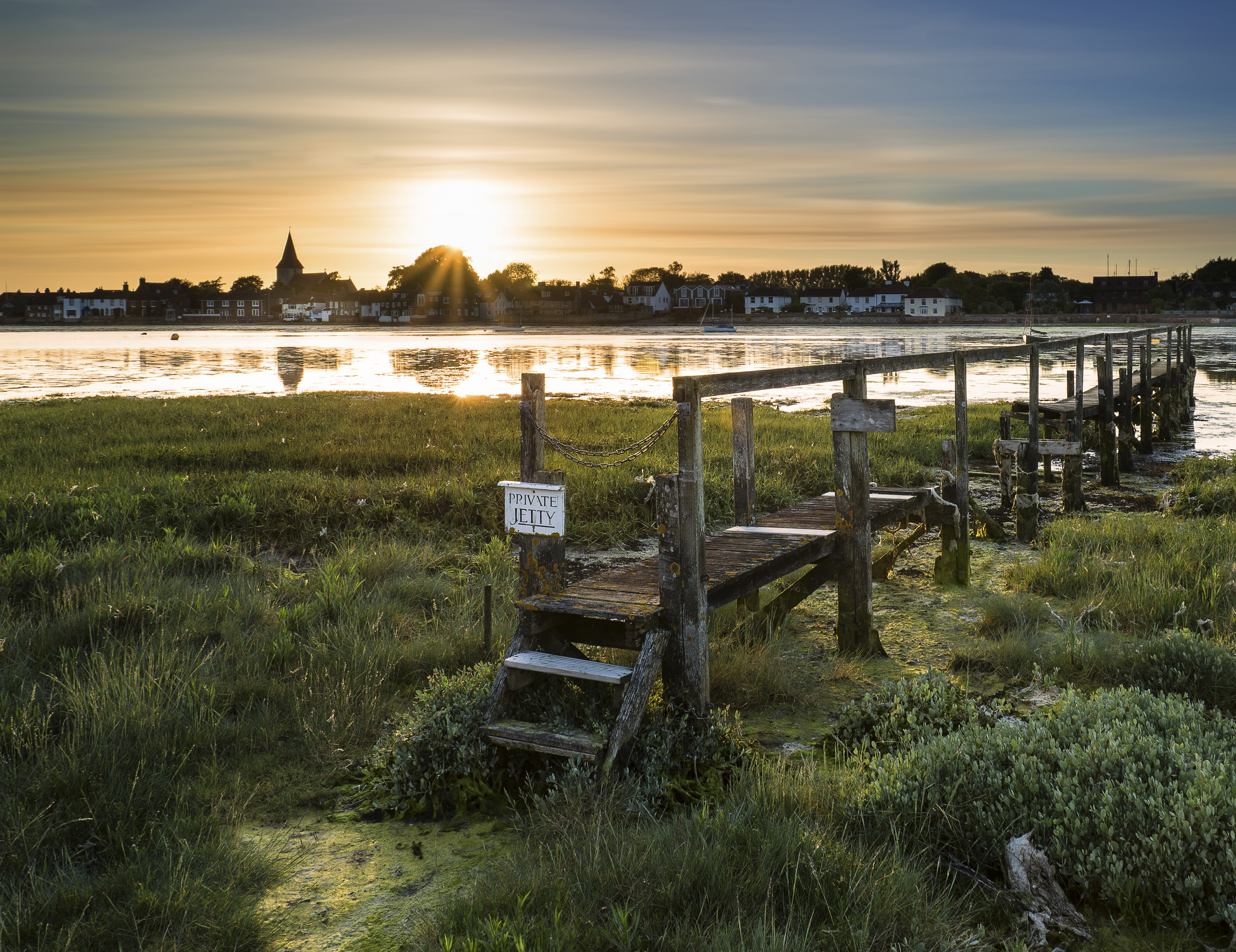
The Chichester Harbour AONB, a slice of Sussex where nature, beauty and history come together
Rosie Paterson takes in the all-too-often overlooked Chichester Harbour.
Rosie is Country Life's Digital Content Director & Travel Editor. She joined the team in July 2014 — following a brief stint in the art world. In 2022, she edited the magazine's special Queen's Platinum Jubilee issue and coordinated Country Life's own 125 birthday celebrations. She has also been invited to judge a travel media award and chaired live discussions on the London property market, sustainability and luxury travel trends. Rosie studied Art History at university and, beyond Country Life, has written for Mr & Mrs Smith and The Gentleman's Journal, among others. The rest of the office likes to joke that she splits her time between Claridge’s, Devon and the Maldives.
-
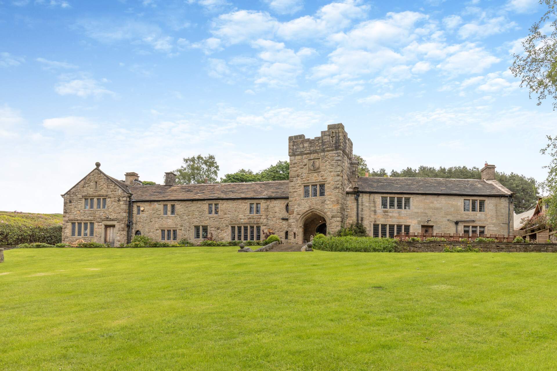 Some of the finest landscapes in the North of England with a 12-bedroom home attached
Upper House in Derbyshire shows why the Kinder landscape was worth fighting for.
By James Fisher
-
 The Great Gatsby, pugs and the Mitford sisters: Country Life Quiz of the Day, April 16, 2025
Wednesday's quiz tests your knowledge on literature, National Parks and weird body parts.
By Rosie Paterson