Curious Questions: What was the first OS Map?
Jack Watkins traces through the history of Ordnance Survey maps, going way past the 'official' first OS map — which was of Hampshire and the Isle of Wight — to find the tale of the extraordinary William Roy, whose cartographic concepts have barely changed in almost three centuries.
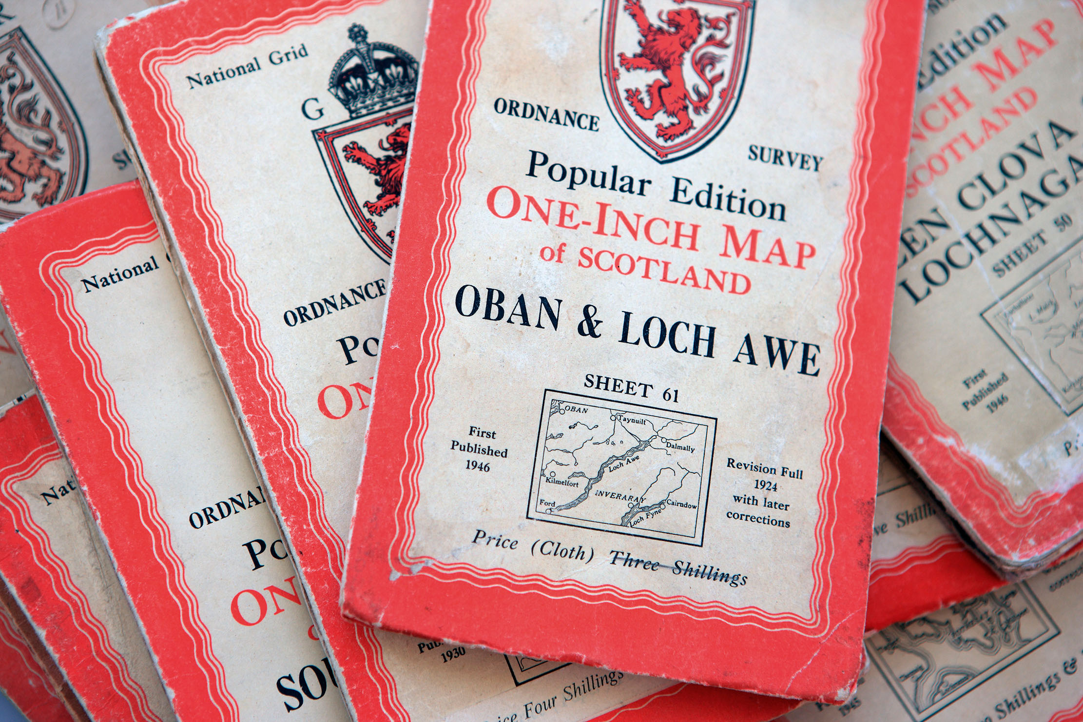

Robert Louis Stevenson, in an essay written near the end of his life on the genesis of Treasure Island, expressed disbelief that there were people who did not care about maps. ‘The names, the shapes of the woodlands, the courses of the roads and rivers, the prehistoric footsteps of man still traceable up hill and down dale… Here is an inexhaustible fund of interest for any man with eyes to see or twopence-worth of imagination to understand with!’
The map Stevenson drew of an island that inspired his most famous work was, of course, a fantasy map, but he might have been referring to the grid maps of the Ordnance Survey, for which the groundwork was laid by William Roy (1726–90), acknowledged as its founder. The maps can be used both to plan outings to come or to summon memories of past ventures, thus going on a journey without ever departing your place of study.
This is the joy of the Ordnance Survey as a leisure map, but it had military origins. In 1747, in response to the Jacobite uprising in the Highlands, Lt-Col David Watson, Deputy Quartermaster-General of the Board of Ordnance, the body responsible for military infrastructure and equipment, presented the idea of a mapping survey of Scotland to the Duke of Cumberland, his commander-in chief. The initiative was part of a wider plan to open up the Highlands, connecting newly built forts and older fortifications via new road networks. Having received approval for the idea, Watson deputed the project to Roy, a young engineer and his assistant quartermaster, based in the Board’s office in Edinburgh Castle.
Roy’s remit was to map the entire mainland of Scotland, recording its roads, hills, rivers and settlements, at a scale of 1in: 1,000 yd. It is thought Roy undertook the early surveying single-handed, but, eventually, he was supported by six field parties, each of six men. Among those employed was the future eminent watercolourist Paul Sandby, as chief draughtsman.
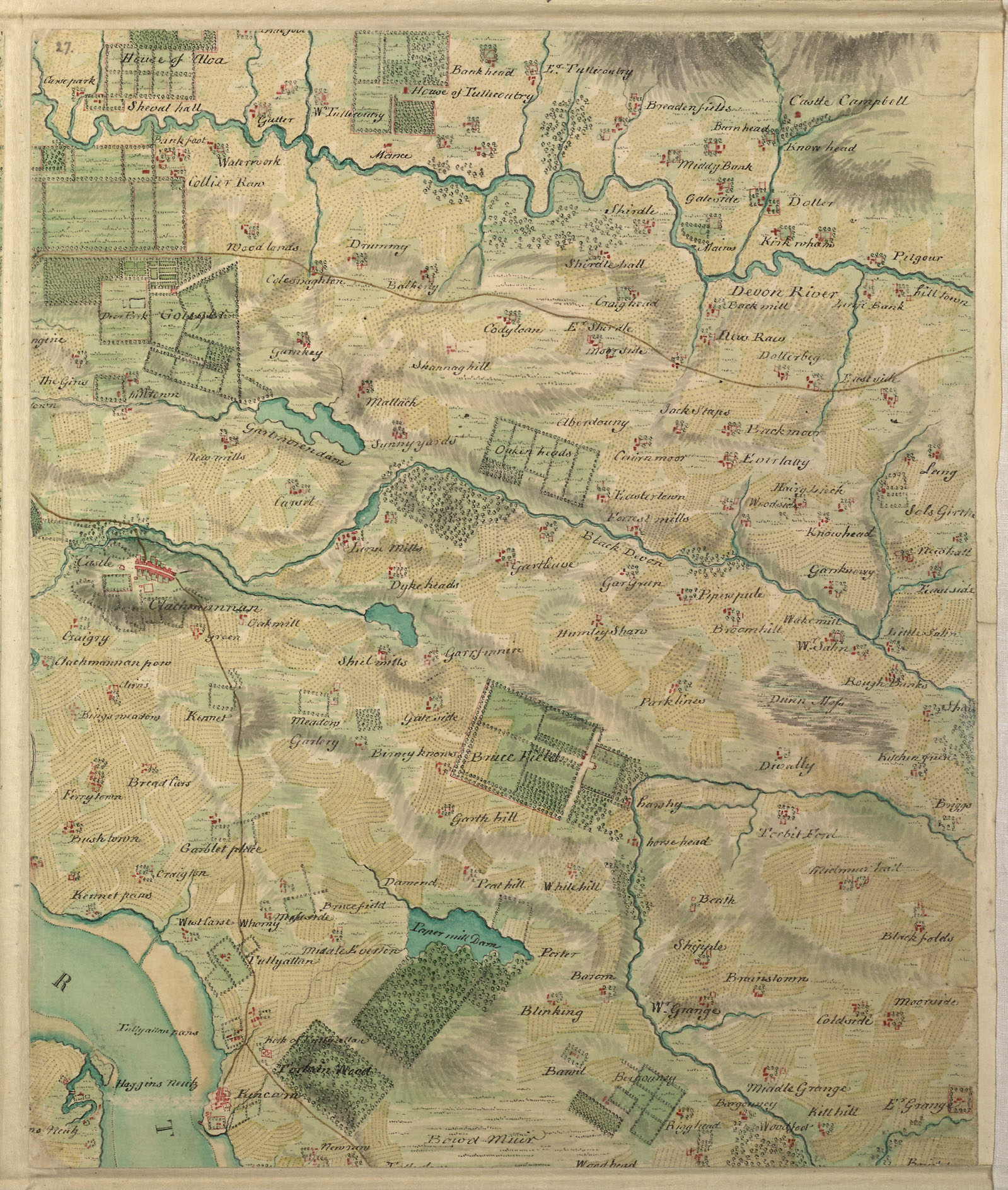
The teams used basic surveying compasses to measure angles. Chains up to 50ft long were used to measure the distances between significant features. The mapping of the Highlands was completed by 1752; that of southern Scotland by 1755. According to A History of the Ordnance Survey, edited by W. A. Seymour, this was ‘the most extensive survey of its kind to be made in 18th-century Britain, and it had no real precursor or successor’.
The map resulting from the survey, which Roy described as more a ‘magnificent military sketch than a very accurate map of the country’, was intended to be engraved. The onset of the Seven Years War, in which he saw active military service and rose to the rank of Lt-Col, drew Roy’s attention elsewhere before the ‘imperfect work’, as he described it, could be fully completed. However, he retained an ambition to extend the survey across all Britain, recognising that accurate recording of its topography was a matter of national security. By 1763, Roy was based in London and using his influence to promote the idea at every opportunity.
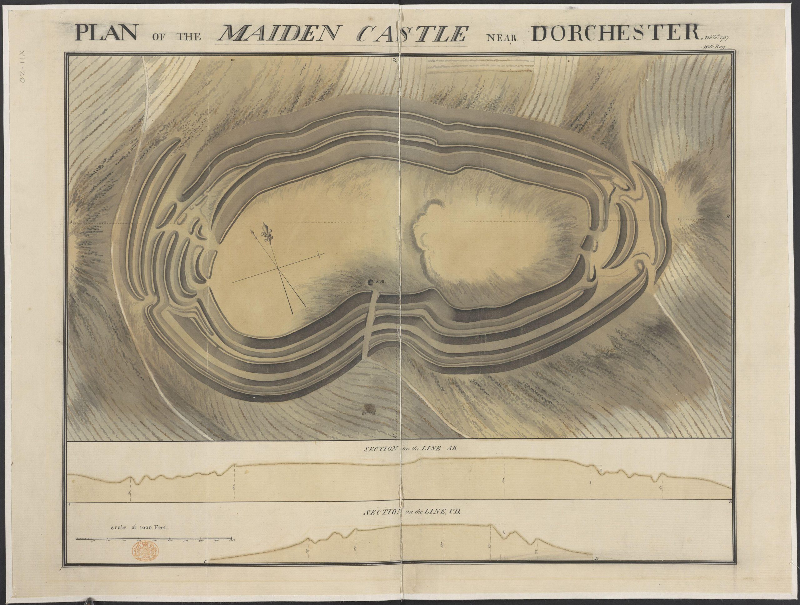
Finally, in 1784, Roy, himself a member of the Royal Society, was commissioned by its president, Sir Joseph Banks, to solve an ongoing dispute about the relative positions of the Royal Observatories of Greenwich and Paris.
Sign up for the Country Life Newsletter
Exquisite houses, the beauty of Nature, and how to get the most from your life, straight to your inbox.
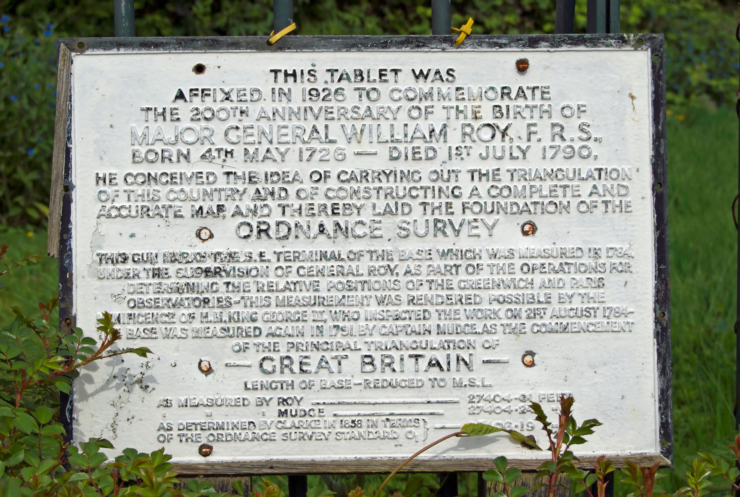
Using a sophisticated 3ft theodolite ordered from Jesse Ramsden, a leading maker of mathematical instruments, at a baseline on Hounslow Heath, by 1789, Roy had completed all the triangulation work between the baseline and France, then back to a baseline in the Kent. This work was to be the foundation of the Ordnance Survey (originally the Trigonometrical Survey) of Great Britain, begun in 1791, a year after Roy’s death.
Military imperatives continued to be the main incentive for improvements in map making after William Roy’s death. With fears of an invasion from France, in which Kent would be in the front line, the first Ordnance Survey map — using Roy’s recent fieldwork in southern England as its basis — of Kent was produced in 1801, printed at a scale of 1in: 1 mile. The name 'Ordnance Survey' was around at the time — and was written on a document at the time — but the maps were not yet generally referred to by the name by which would become famous.
In 1805, the Board of Ordnance itself published a map of Essex, the first of what would become known as the Old Series one-inch scale maps. As this was a national survey, county boundaries were ignored. The name Ordnance Survey appeared for the first time on the 1810 map for the Isle of Wight and part of Hampshire.
These maps were published by William Faden, Geographer to the King, the leading map seller of the day. And they weren't cheap, being sold as works of art rather than daily tools: the first maps were sold at three guineas (£3 3s) per county survey — that's a fortnight's wages for the average worker at the time.
That first map of Kent had taken three years to make, and progress continued slowly: after 20 years, only a third of England had been mapped, and it would take until 1870 before the whole country had the coverage that we've long taken for granted.
Credit: Getty
In Focus: The hand-drawn maps from which JRR Tolkien launched Middle-earth
'I wisely started with a map and made the story fit,' JRR Tolkien once wrote. A new exhibition in Oxford
Credit: Alamy
Curious Questions: Why do maps include streets, and even entire towns, which don't exist?
The mysteries of mapping have intrigued Martin Fone since he was a boy — and one of the great curiosities is
In Focus: The oldest known map of the cosmos, and the detectorists who sold an £8m find for just £13,000
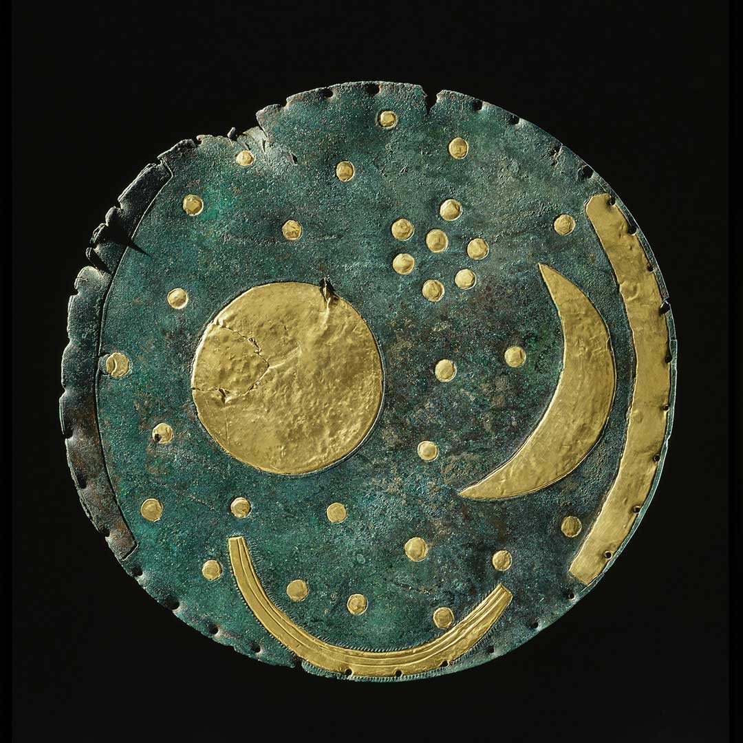
A bronze ‘sky disc’, thought to be the world’s oldest map of the cosmos, is the star attraction of the
Somerset born, Sussex raised, with a view of the South Downs from his bedroom window, Jack's first freelance article was on the ailing West Pier for The Telegraph. It's been downhill ever since. Never seen without the Racing Post (print version, thank you), he's written for The Independent and The Guardian, as well as for the farming press. He's also your man if you need a line on Bill Haley, vintage rock and soul, ghosts or Lost London.
-
 'Monolithic, multi-layered and quite, quite magnificent. This was love at first bite': Tom Parker Bowles on his lifelong love affair with lasagne
An upwardly mobile spaghetti Bolognese, lasagne al forno, with oozing béchamel and layered meaty magnificence, is a bona fide comfort classic, declares Tom Parker Bowles.
By Tom Parker Bowles
-
 Country houses, cream teas and Baywatch: Country Life Quiz of the Day, April 24, 2025
Thursday's Quiz of the Day asks exactly how popular Baywatch became.
By Toby Keel