

Methwold Warren, Norfolk, 1580 Having once lived near Methwold by Thetford Forest, I was delighted when I found this map of its medieval rabbit warren in the National Archives. Created by a professional surveyor at a time when map making was starting to become popular, it includes pictures of 16 rabbits and was probably commissioned to show the boundary of the warren, rented from the Duchy of Lancaster. Doubtless, there were border disputes: the warrener concerned about poaching, his neighbours afraid for their crops.
Sussex, 1778 Thomas Yeakell and William Gardner, the two young surveyors who created this map of Sussex, sponsored by the 3rd Duke of Richmond, were among the first cartographers to be employed by the Board of Ordnance in 1790, when it started the great Ordnance Survey. Goodwood, the Duke’s seat, features predominantly, as does Chichester. This was the first engraved map of Sussex and employed many of the techniques (such as shading for higher ground) later adopted by Ordnance Survey.
Glandore, 1862 In 1824, Thomas Colby, Superintendent of the Ordnance Survey, was sent to Ireland to conduct a complete survey of the country on the scale of 6in to the mile. The purpose was to ensure a fairer property tax, which was based on information gathered up to 200 years previously. Surveying was done using a system of triangulation requiring good visibility, but perpetual fog made this difficult. Thomas Drummond, a young officer attached to the survey, came up with the idea of employing lime-light to indicate reference points. His invention, the Drummond Light, found other uses, including in the theatre.
The Geographer’s A–Z Street Atlas, 1936 In 1935, the most recent Ordnance Survey map of London was out of date, inspiring Phyllis Pearsall, a Roedean girl and the daughter of a cartographer, to create a new version. She corrected the names of hundreds of streets, added the new suburbs and made other improvements such as house numbering. By 1938, the map was a bestseller.
Bomb Census, 1940 During the Second World War, Ordnance Survey produced some 342 million maps as part of the war effort. Special maps of London, with a secret system of grid references, were used during the Blitz to record where every bomb fell. Bombsites were marked on these maps by hand with circles and crosses representing the locations of unexploded bombs. The Bomb Census was later extended to the whole country.

-
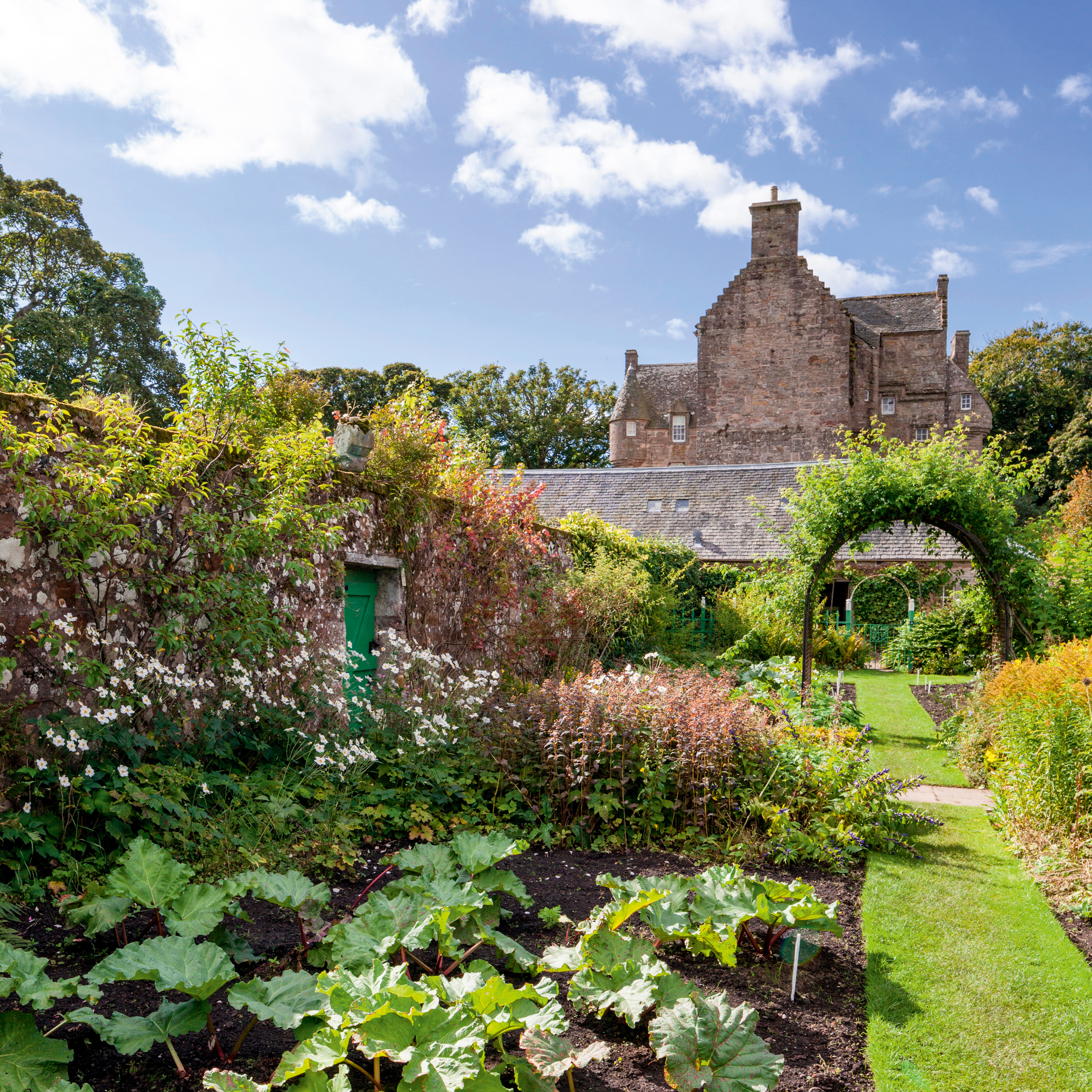 Alan Titchmarsh: 'It’s all too easy to become swamped by the ‘to-do’ list, but give yourself a little time to savour the moment'
Easter is a turning point in the calendar, says Alan Titchmarsh, a 'clarion call' to 'get out there and sow and plant'.
-
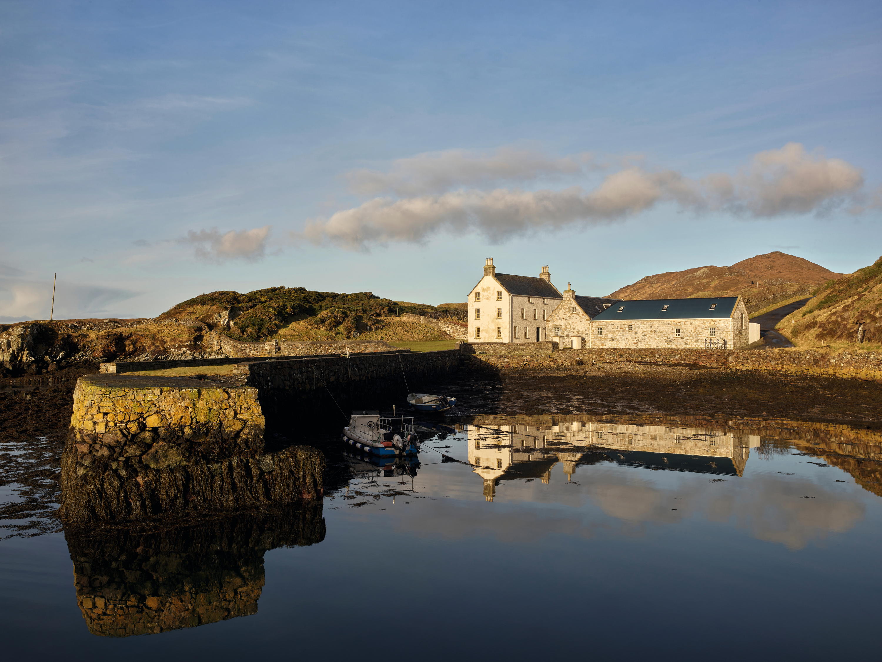 Rodel House: The Georgian marvel in the heart of the Outer Hebrides
An improving landlord in the Outer Hebrides created a remote Georgian house that has just undergone a stylish, but unpretentious remodelling, as Mary Miers reports. Photographs by Paul Highnam for Country Life.

